I was told, again, that the weir on the River Croal at Moses Gate had been removed when I checked last time it was still there. Then I thought perhaps it is the lower weir that has been removed. I had not used the new Wilson Bridge at Nob End to do a circular walk up and down the Croal. Which was reason enough for me get myself out of the house and into the fresh air.
Parked by the lodges at the park and walked to the first weir, which is still there, no surprise as it has a Environment Agency Flow Measuring Station just above it, that's it above the weir.
What is not seen from the path passed the weir is this disgusting mess that was reported to United Utilities some time ago, but still not cleaned up.
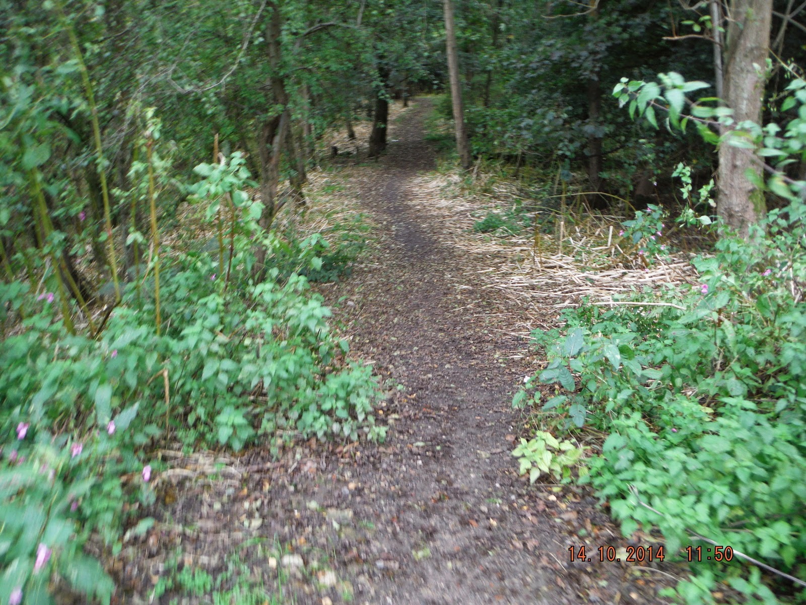
Any way back to the path.
Walking down river you soon come to a foot bridge. Here you have the choice of starting one route of the circular walk, either easy, over the footbridge, or hard, down the right hand bank of the river.
I do no recommend the the hard route unless you are very good on you feet. as you will see later.

I took the easy way over the foot bridge up the steps and down to the second weir.
Soon got my first sight of the exweir.
It has no all been removed but enough to allow the movement of fish up river if only to the next weir better than nothing.
This is the best photo I have of the weir prior to removal.
The buttress's on both sides and parts of the weir have been left which will increase the flow.
I have not been able to find a reason as to why this weir was erected in the first place. It was in a deep valley which continues until the river joins the Irwell with no space, that I can see, to build a mill down river from it.
Later in the walk whilst talking to a fellow walker about the weir he said he could remember, when he was a boy, there being the remains of a bridge across the river above the weir. Further investigation will have to be made into it's origin.
Most of the area above the weir now looks like a river should look rather than a semi stagnant pool.
Hopefully the winter rains will clear the remaining silt and rubbish from the bed and with new growth next spring improve the look of the banks.
Left the weir and followed the path down to the new Wilson Bridge over the river at Nob End. The old bridge had been closed for a long time and had an old sewer pipe that ran under it that overflowed on occasion into the river.
Hopefully the new pipe will not do the same.
Once over the bridge you have several choices of path to take you back up the river to Moses Gate. Though they all seem to come together by the time you get to the broken weir.
I didn't start straight back up river instead I went up the track towards Cemetery Road and took a path of to the left that goes to Stoneclough.
I then took a smaller path that goes to the confluence of the Croal and Irwell and to a sewer outlet that I wanted to check.
The Croal joining the Irwell, just above which is this.
They have now fitted a ladder so that it can be cleaned more often.
It used to look like this until we got United Utilities to clean it up.
Looking down the Irwell there used to be a weir by the mill which as been removed by the Environment Agency improving the flow and allowing fish to migrate up river to spawn.
Back up from the river I walked towards Stoneclough hoping to be able to take photos of what's left of the weir.
I went some way up the steep path but it was taking me away from the river so I turned back, and met the walker mentioned earlier. He told me it was possible to get to the weir but not easy, so decided to drive round to Stoneclough and try from that end after finishing this walk.
Back to Wilson Bridge to start back to Moses Gate took this path.
Here it joined another path from the bridge and took me down steep steps towards the river.
and through Japanese Knot Weed, there was another choice down there but knot weed for me.
Once through the knot weed a much better path up to the weir.
The remains of the weir from the other side.
After the weir one path leaves the river and goes up the valley to come out at Rock Hall near the car park. That's the one straight ahead, not the one on the left.
I took the low path down to the right through the next lot of knot weed.
Then it opens up for a bit along the river bank before getting rather narrow.
A lot of care needs to be taken of you want to stay out of the river, a good stout stick is very handy.
You have take your life in your hands to get passed this bit.
This is not much better.
Home and dry, nearly
The weir by the car park with a Grey Heron trying for its lunch.
I did drive round to Stoneclough and found the place you could possibly get down to the weir, it had to be at the top of this awful flight of steps, which I did climb. The way down to the weir was not to my liking, I might have made it down but I don't think I would have got back up.
I got this picture of the weir by wading up the river a couple of years ago, the weir pool goes up to where the Croal joins the Irwell in the distance. I will wade up next season to see if the fishing has improved.


 43 steps, not as bad as it looks but!
 Another 37 when you get to the turn.
 At least when you get to the top you can have a sit down and there is a good view to the right.


 On the way back to the car saw this chap fishing the bottom of the weir.