Went to the meeting at the Kings Head in Salford, as usual good turnout and lots of points raised as how to improve the river.
As a trout man my wants are not always the same as the course fishers but there are lots of improvements that would benefit everybody.
I was pleased that we had Ian Hayes, a fisheries officer from the Environment Agency, at the meeting taking notes and making comments on what we thought needed to be done in the short and long term by the EA.
Pollution as always was a major topic along with weirs and there removal.
Improving habitat for different kinds of fish with the introduction weed, bank cover and woody debris was seen as a major factor for all types of fish.
Electro Fishing training of members by the EA was muted so that some idea of what fish were in different stretches of the river and then possibly moving fish within the river.
https://www.gov.uk/government/publications/environment-agency-rod-fishing-byelaws-north-west-region

Bradshaw Brook
Thursday, 23 October 2014
Wednesday, 15 October 2014
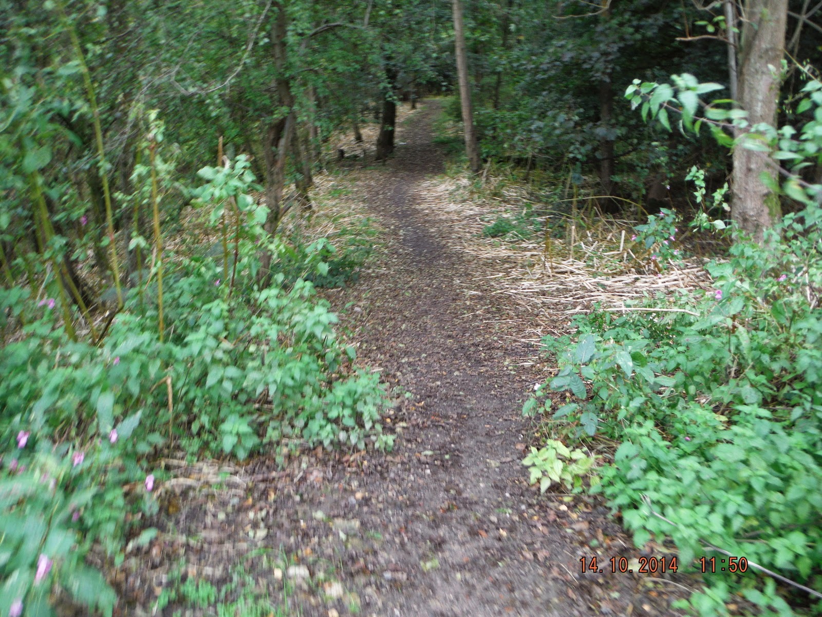
Moses Gate Country Park 14 Oct 14
I was told, again, that the weir on the River Croal at Moses Gate had been removed when I checked last time it was still there. Then I thought perhaps it is the lower weir that has been removed. I had not used the new Wilson Bridge at Nob End to do a circular walk up and down the Croal. Which was reason enough for me get myself out of the house and into the fresh air.
Parked by the lodges at the park and walked to the first weir, which is still there, no surprise as it has a Environment Agency Flow Measuring Station just above it, that's it above the weir.


 I do no recommend the the hard route unless you are very good on you feet. as you will see later.


 Once over the bridge you have several choices of path to take you back up the river to Moses Gate. Though they all seem to come together by the time you get to the broken weir.


I got this picture of the weir by wading up the river a couple of years ago, the weir pool goes up to where the Croal joins the Irwell in the distance. I will wade up next season to see if the fishing has improved.

Parked by the lodges at the park and walked to the first weir, which is still there, no surprise as it has a Environment Agency Flow Measuring Station just above it, that's it above the weir.
What is not seen from the path passed the weir is this disgusting mess that was reported to United Utilities some time ago, but still not cleaned up.
Any way back to the path.
Walking down river you soon come to a foot bridge. Here you have the choice of starting one route of the circular walk, either easy, over the footbridge, or hard, down the right hand bank of the river.
I took the easy way over the foot bridge up the steps and down to the second weir.
Soon got my first sight of the exweir.
It has no all been removed but enough to allow the movement of fish up river if only to the next weir better than nothing.
This is the best photo I have of the weir prior to removal.
The buttress's on both sides and parts of the weir have been left which will increase the flow.
I have not been able to find a reason as to why this weir was erected in the first place. It was in a deep valley which continues until the river joins the Irwell with no space, that I can see, to build a mill down river from it.
Later in the walk whilst talking to a fellow walker about the weir he said he could remember, when he was a boy, there being the remains of a bridge across the river above the weir. Further investigation will have to be made into it's origin.
Most of the area above the weir now looks like a river should look rather than a semi stagnant pool.
Hopefully the winter rains will clear the remaining silt and rubbish from the bed and with new growth next spring improve the look of the banks.
Left the weir and followed the path down to the new Wilson Bridge over the river at Nob End. The old bridge had been closed for a long time and had an old sewer pipe that ran under it that overflowed on occasion into the river.
Hopefully the new pipe will not do the same.
I didn't start straight back up river instead I went up the track towards Cemetery Road and took a path of to the left that goes to Stoneclough.
I then took a smaller path that goes to the confluence of the Croal and Irwell and to a sewer outlet that I wanted to check.
The Croal joining the Irwell, just above which is this.
They have now fitted a ladder so that it can be cleaned more often.
It used to look like this until we got United Utilities to clean it up.
Looking down the Irwell there used to be a weir by the mill which as been removed by the Environment Agency improving the flow and allowing fish to migrate up river to spawn.
Back up from the river I walked towards Stoneclough hoping to be able to take photos of what's left of the weir.
I went some way up the steep path but it was taking me away from the river so I turned back, and met the walker mentioned earlier. He told me it was possible to get to the weir but not easy, so decided to drive round to Stoneclough and try from that end after finishing this walk.
Back to Wilson Bridge to start back to Moses Gate took this path.
Here it joined another path from the bridge and took me down steep steps towards the river.
and through Japanese Knot Weed, there was another choice down there but knot weed for me.
Once through the knot weed a much better path up to the weir.
The remains of the weir from the other side.
After the weir one path leaves the river and goes up the valley to come out at Rock Hall near the car park. That's the one straight ahead, not the one on the left.
I took the low path down to the right through the next lot of knot weed.
Then it opens up for a bit along the river bank before getting rather narrow.
A lot of care needs to be taken of you want to stay out of the river, a good stout stick is very handy.
You have take your life in your hands to get passed this bit.
This is not much better.
Home and dry, nearly
The weir by the car park with a Grey Heron trying for its lunch.
I did drive round to Stoneclough and found the place you could possibly get down to the weir, it had to be at the top of this awful flight of steps, which I did climb. The way down to the weir was not to my liking, I might have made it down but I don't think I would have got back up.
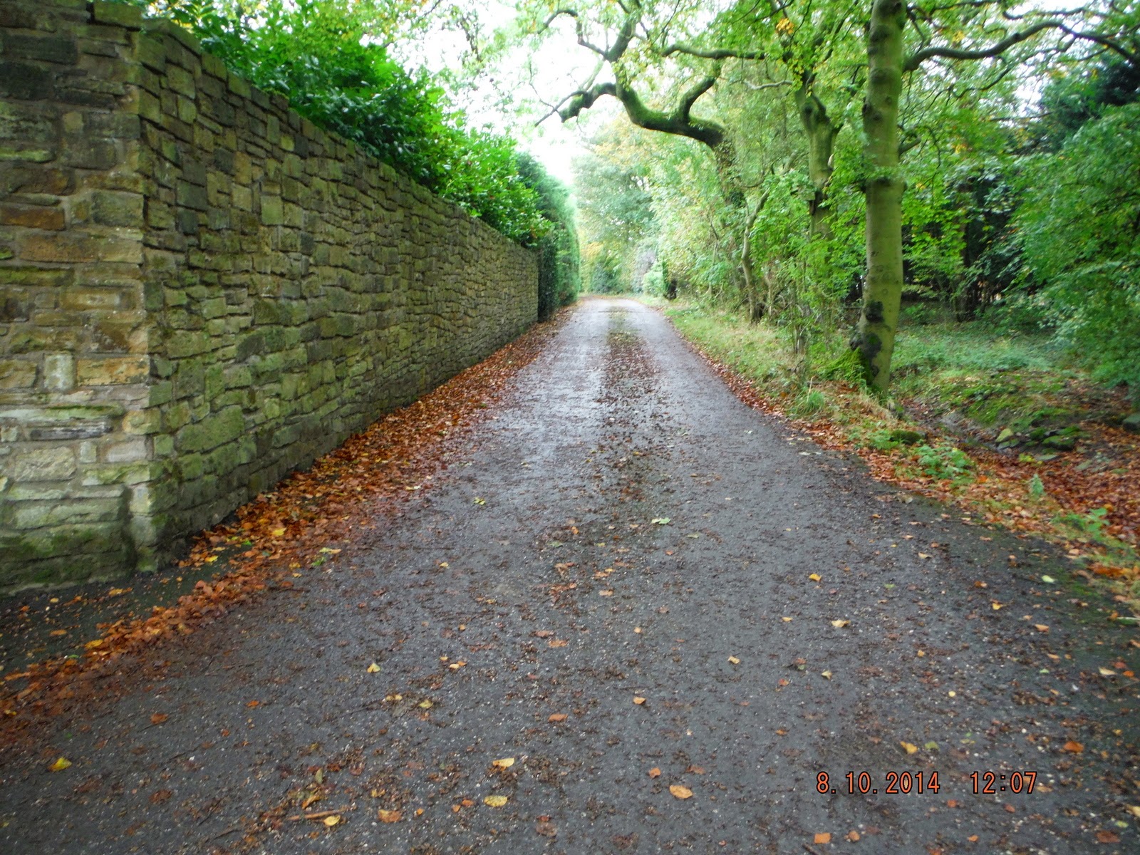
Middlebrook to Regents Road 8 Oct 14
The idea was to try to follow the Middle Brook as much as I could as it makes it's way towards Bolton. Did not turn out that way as the paths and lanes took me nearer the motorway than the brook.
Took the bus (575 from the Interchange) from Bolton towards Horwich and got of at the stop just passed the Beehive Pub on Chorley New Road.


 Followed the path to the underpass.
 No stile, which was strange, but a bit of the fence missing.
 Very muddy so I walked along the concrete ledge on the left. turned left and then forward towards the farm houses?
 Below is looking back at the five bar gate and kissing gate, which I forgot to take a photo of before going through it. The reason I did not go back and take one is that the kissing gate was fitted by a very slim person, I nearly got stuck in it and the fb gate was locked.
 Followed the lane for some time.


 A little way up Wingates I took the path on the left over a rickety stile and across the fields.

 Not much sign of a path so followed the fence.
 A sign warned of a bull but I had no problems with these beautiful beasts.

 Path a little clearer.
 and then not again.
 One of quite a few friendly horses by the path.
 A bit of narrow but I managed without getting caught on the barbed wire.

 Left on to the road for a bit.

 I took the straight on path across the fields.

 a straight run over more rickety stiles.


 and some wet patches, at least there was no mud.

 So I walked down towards the farm where a nice lady told me I had missed my way.
 Backed up and found the way sign half hidden behind a large pile of rubble.

 Back on the right track.


 Over rail bridge to the main road .
 and then very sharp left turn towards a farm

 The chickens must have thought I was going to feed them, even the geese were friendly, well they
didn't attack me.
 Passed the fowl and then back up over the railway.
 But not before I had to pass this fellow, I was glad he was tethered, anyway he did not try to bother me. For which I was very thankful.
 and take a right after the gates.

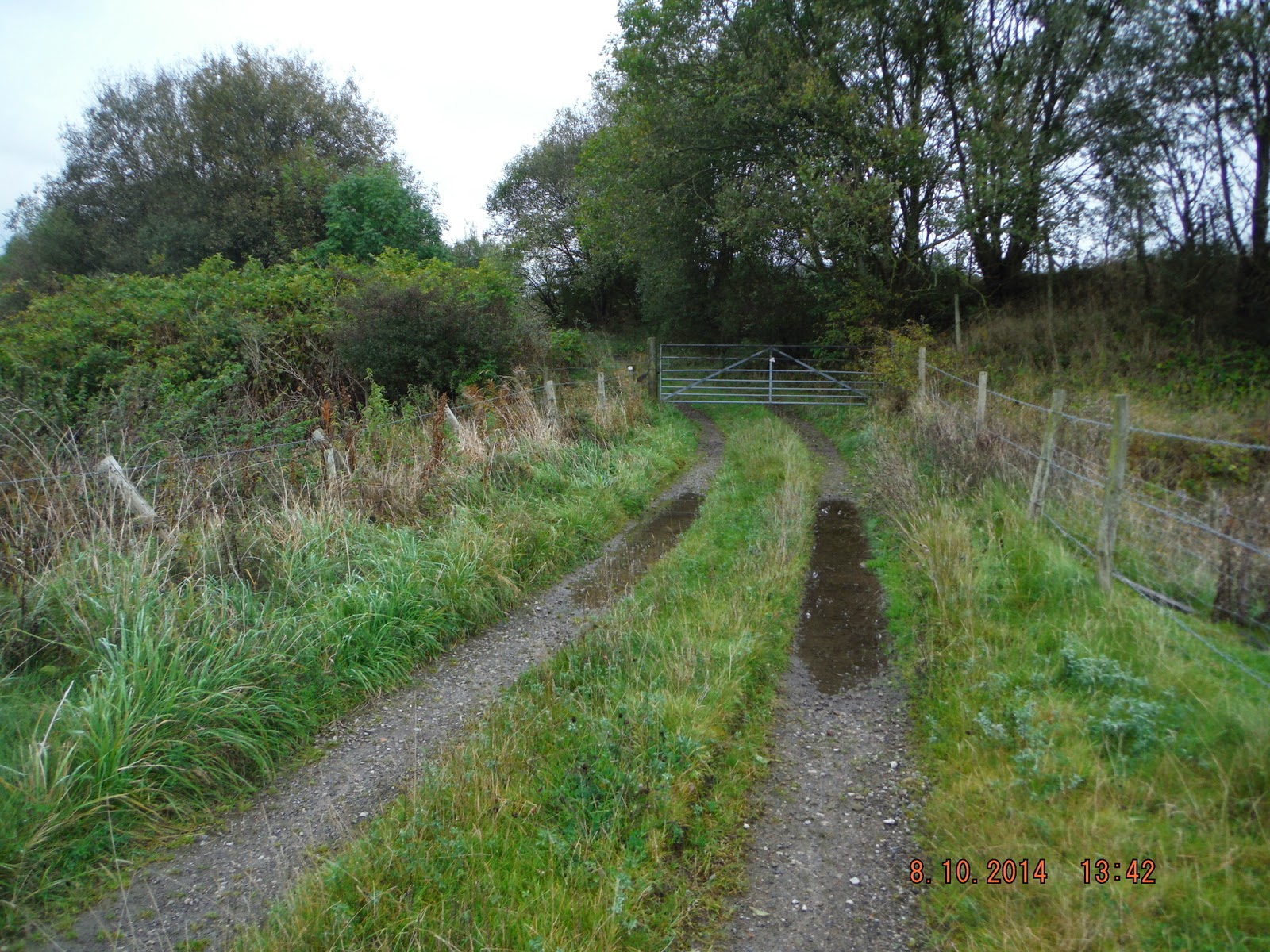
 Following the track to the iron gate.
 then left turn down a narrow, and by the look of it, little used path.
 what an awful picture but the only one I have that shows how overgrown the path was.
 At least it took me to what had been one of the reasons for the walk, Middle Brook.

 Over the stream and then back over the railway.
 and them over part of Regents Park Golf Club
 Straight across the fairway and through the trees brings you out on a track that runs through the course.

 and right down to Regents Road.


 Turned left up Regents Road to Chorley New Road and the bus back to Bolton.
Not the most pleasant walk that I have taken, with the noise of the motorway evident for most of the time, but, well it got me out and about.
Took the bus (575 from the Interchange) from Bolton towards Horwich and got of at the stop just passed the Beehive Pub on Chorley New Road.
Walked along the fence to the path which takes you to the start of the Middlebrook.
There are lights all the way down this path but I do not think I would use it in the dark.
Turned out to be a bit longer than I expected, anyway I arrived and crossed the road and went down the front of Tesco's store.
You can get the 574 or 576 which both go to Middlebrook but the times did not suit.
I walked down the front of Tesco's to a path from the car park, just short of Bolton Wanders Football Stadium, which put me on the main road to the motorway.
Turned right up the road with the Wanders ground on my right.
The stadium is better than the team at the moment, has been for some time.
Passed the roundabout and over the railway line to the sign for the path.
Passed the roundabout and over the railway line to the sign for the path.
Until I came to Lostock Lane. Were I had the choice of over the road and stile and across the fields, looked muddy, or down the road and join the path farther on.
 Down the road I went.

and then right into Wingates Lane
Over the stile onto the track, which I wrongly thought was Chulsey Gate Lane.
Down to the bottom over two stiles and passed a very friendly horse, had me worried for a while, and on to the real Chulsey Gate Lane.
didn't attack me.
Down hill from the rail bridge
Not the most pleasant walk that I have taken, with the noise of the motorway evident for most of the time, but, well it got me out and about.
Subscribe to:
Comments (Atom)